
Inside the arctic circle where the midnight sun can be seen in its full glory, are the Lofoten Islands. Known for the stunning scenery, wild landscapes and bitter cold seas. This ones for the hiking enthusiasts.
Reinebringen
Lofoten is known for some of the most jaw dropping view points in the whole of Europe, and by golly did our jaws drop.
Starting with the most famous hike in the Lofoten islands, Reinbringen. This one was as tough as old boots. Just shy of 2000 steps up to the top.
All day you could see oodles of people at the summit so we chose to do this hike in the midnight sun. We set off at around 21:00 from our campsite (if you could call it that) on the pier in Reine. And arrived at the top around 22:15 before the sun got to its lowest point. Golden hour was in full swing at this time.
The sign at the beginning of the trail says the hike will take 2-4 hours round trip. It can easily be done under that depending on fitness levels and we did it in 2 hours . It is 1.7 km each way with a 484 m elevation gain. Which is to be expected from 1978 steps. Be aware it is not advised to walk this trail between November and April due to weather conditions.
There are two things that are known from completing this walk. One: it is very rewarding. Two: there is no doubt that your knees will be knackered after the descent.

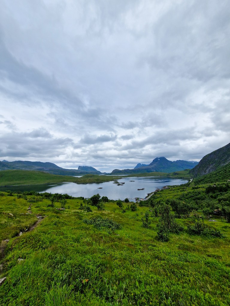
Kvalvika beach & Ryten
Another popular walk.
There are many different variations of this one. It all depends on how long you’ve got as to which you do. Most of the walk will start from the same spot, which is Intersand parking. This is paid parking and has loads of spaces.
The most famous view is from the top of Ryten overlooking Kvalvika beach. Round trip to the summit of Ryten will take around 3 hours 30 and is around 7.2 km total with 586 m elevation.
After beginning our descent, we chose to make the round trip even longer and walked, mostly scrambled, down to the beach. This part of the walk was the most challenging in our opinion. There is a path, until there isn’t. This route involves scrambling over some large and slippy boulders, and avoiding the waterlogged ground.
This walk is a bit longer at 9 km with elevation gain of 768 m and was a lot more precarious. Should take you about an hour longer at around 4 hour 30. That’s if you don’t break something falling down the hill.
Once you’ve taken in the views from the most beautiful beach, had snacks, and maybe even a swim… you then get to choose which hill you want to scramble up. The way you came, or an alternate path. We chose the alternate for a change of scenery. The route we took at the top was sure to go back to the car park and make this a circular route. Or so we thought. We ended up coming out over a mile away from the car park. So we did the only thing we thought would be best, alternate between walking and running back as we were eager to take off the walking boots after this one!
Again a busy one in peak summer. However, the Kvalvika beach trail is not often done by the masses. So, there are fewer people asking to be kicked down the mountain side on that route.

Offersoykammen
Don’t ask us how to pronounce this one!
Out of all the hikes we did in Lofoten we thought this one had the best view at the summit. We started this hike from the overpriced Lofoten Basecamp, which was rather close to the start of the trail. Most people park at Skreda, which is 2 minutes from the start.
The walk itself is pretty tough going. A 2.4 km round trip with 417 m elevation gain. That’s 1.2 km for over 400 m elevation which is a proper uphill slog and ain’t for the round people among us. Should take you about 2 hours total. It’s a short but sweet walk. Even in peak season, it is very quiet. That quietness adds to the appeal.
On the main route up to the summit you will be greeted with false summit after false summit. The climb felt endless because of this which wasn’t ideal, but its reyt we are tough Yorkshire folk.

Glomtinden
Glomtinden is located in Kabelvag in Lofoten. It is a 3.4 km round trip which requires a bit of scrambling up the rocky path. It takes around 1 hour 45 to complete and has a 329 m elevation gain.
The walk begins with a steady path up the hill where you can see views over the reservoir, and as you get higher, the coastline. You then turn right and the proper climb begins. There are a couple of false summits. The views from these are good enough if you don’t want to climb up to the top.
The car park, if you could call it that, was full. Yet, we saw very few people doing the walk.
A hidden gem walk we think!

Hiking in Norway is one of the best free activities. And if you’re like us and hate paying for parking just to do a walk, then you’re in luck. Most hiking trails have free parking nearby, unlike in the UK. If you’re doing some of the more popular walks, Reinebringen for example, the free parking fills up fast.
A little reminder for all you folk. Leave no trace. And always piss away from water sources. Happy hiking!
